01
Choose the closest lot.
A visual scenario selector eliminates equipment vocabulary and avoids the unusable boundary-drawing experience.
Start with a real-world lot condition—not equipment jargon. We show the likely path, a transparent market planning band where the work is simple, and a Terrain Intel review where a crew needs more context.
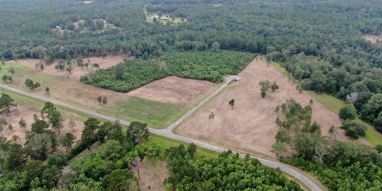
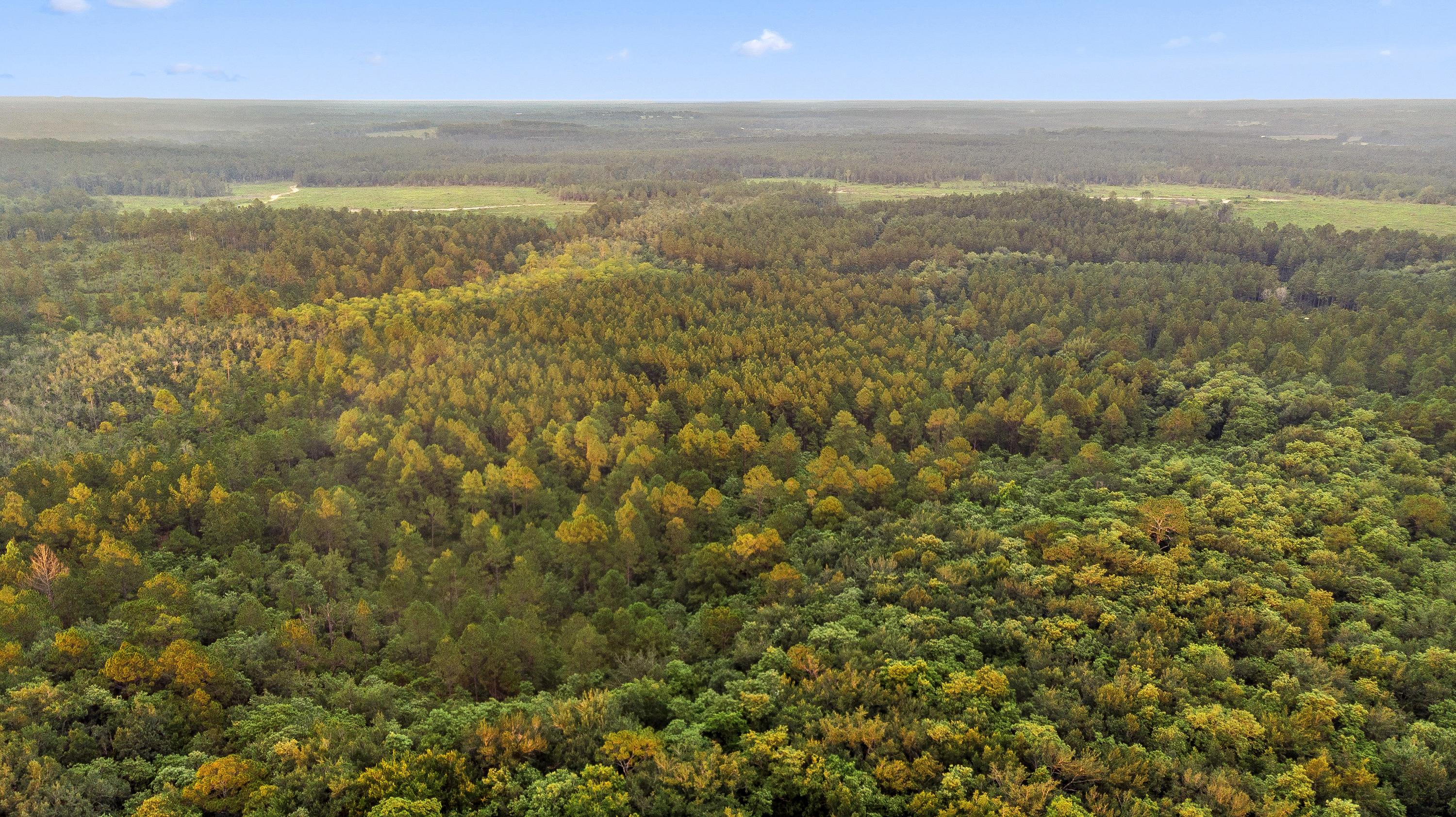
Continuous mature canopy and woody growth. We will prepare a tree-work and clearing review—not a false instant price.
Where source-checked bare-earth coverage is available, we can screen natural-ground slope and grade complexity beneath canopy before an initial visit—then use it to prepare a more informed preliminary clearing conversation.
Example below uses the supplied Wellford, SC report: a 1-meter USGS bare-earth elevation surface with 100% parcel coverage for that specific screen. Coverage and source vintage vary by property; this is not a survey, civil design, cut/fill takeoff, utility locate, wetland delineation, or binding quote.
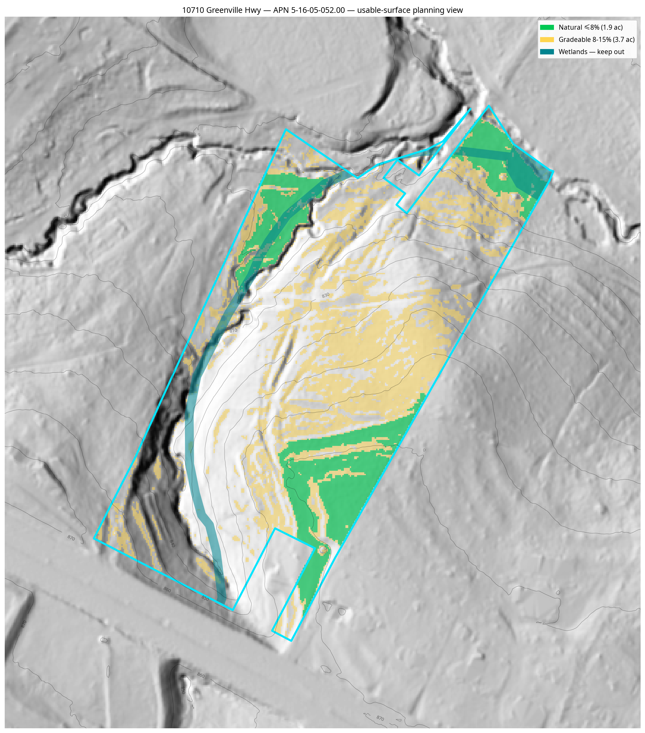
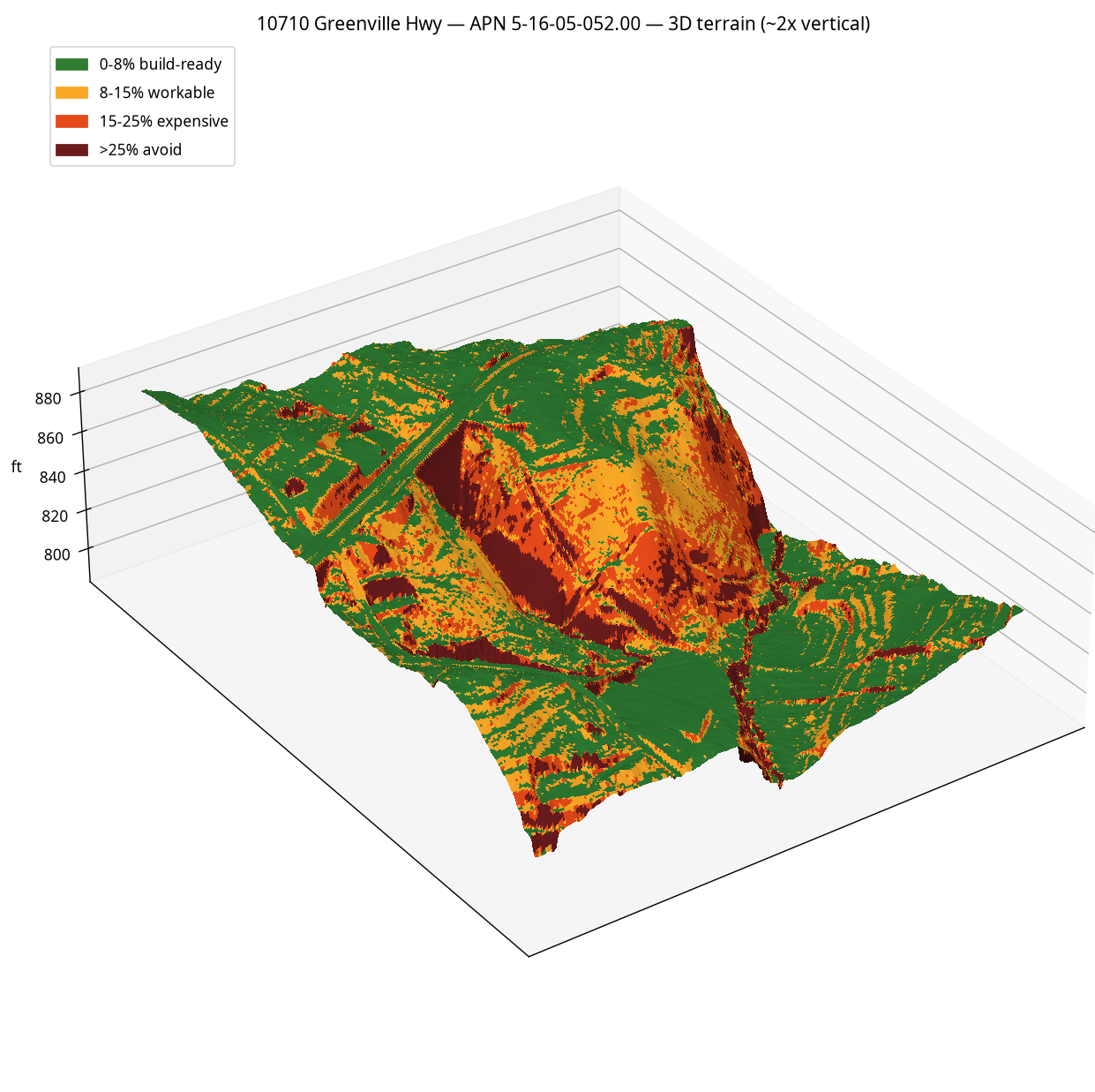
Watch the short explanation of how source-checked bare-earth terrain data can reveal slope and grade-complexity questions that an aerial tree canopy can hide. It helps us prepare a faster, better preliminary clearing conversation before an initial visit.
The selector is always the first decision. A property owner never has to drag a boundary, identify a machine, or guess whether a tree can be mulched.
We will recommend the right clearing path, then the local crew confirms the things imagery cannot prove.
What we do not guess: buried wire, wet ground, tree-health/felling risk, utility locations, protected vegetation, permits, or final scope.
A wooded lot can contain trees, access limits, and felling conditions that cannot be responsibly priced by a dropdown.
Why it varies: vegetation density, stem/tree size, access, terrain, debris handling, and final use of the lot determine the approved scope.
Complete a plan today to reserve savings on the eligible vegetation-clearing labor in the final confirmed scope.
Add an address to request a remote topography and map-context screening brief. It can inform the conversation and approval path, but it does not replace a survey, utility locate, wetland delineation, field walk, or final contractor scope.
Pricing lineage: [SOURCED MARKET BAND] published 2025–2026 cost guides and operator rate pages; [ASSUMPTION] demo savings certificate; [UNVERIFIED] local rate card until the operator supplies actual closeout data.
For every selected work path, this display shows how vegetation density, access, topography, material handling, and conditions move the national industry-planning range. Complex scopes still require crew approval—the range gives context, not a binding quote.
No final remote price is produced for tree felling, wooded clearing, stumps/root extraction, haul-off, grading, potential wetland/floodplain conditions, steep/rocky ground, unknown debris, or restricted equipment access.
The interactive page qualifies the scope before the first phone call, then turns a complex property into a structured lead brief and, where requested, a customer-facing Terrain Intel decision report.
A visual scenario selector eliminates equipment vocabulary and avoids the unusable boundary-drawing experience.
Every selected path receives Low, Typical, and High industry-planning context. Higher-complexity scopes are visibly marked for crew approval before a final quote.
With an address, the company can prepare a client-facing decision brief with terrain-only screening, source/vintage/coverage disclosure, mapped water context, and next steps—always with field-verification limits.
Your choices are saved. Send this plan by text or Instagram so we can review the terrain, scope, and next step with you.
Best option: tap Text for a prefilled message. For Instagram, tap Copy link, then Open Instagram + paste. Prefer a screenshot? Capture this popup and text or DM it. Your property address is not included in the link.